01 — Open-air music festival
Helio Fields: a festival map app demo
A fictional four-day music festival on a former airfield: stages, food courts, camping and a programme that runs past midnight.
Fictional event · demo
02 — Helio Fields
Screenshots
-
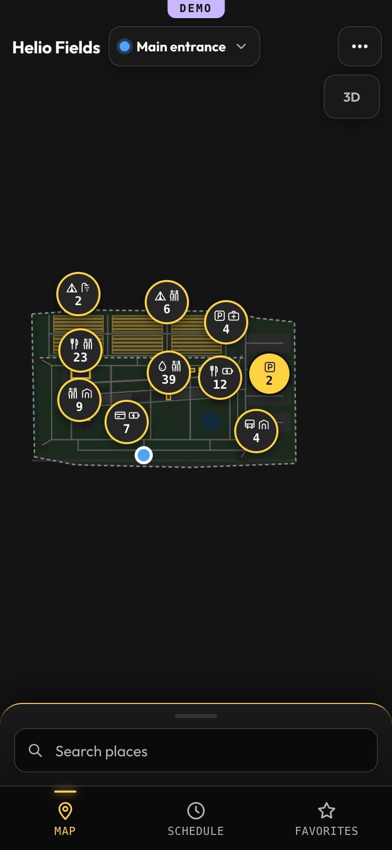
Festival site map at night with stages, food and camping clusters. -
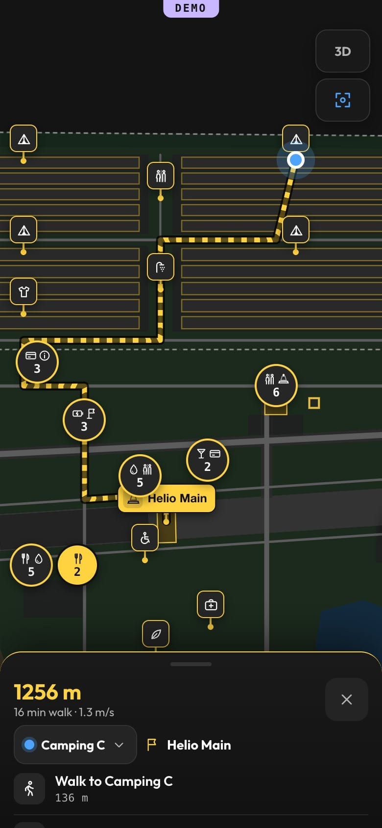
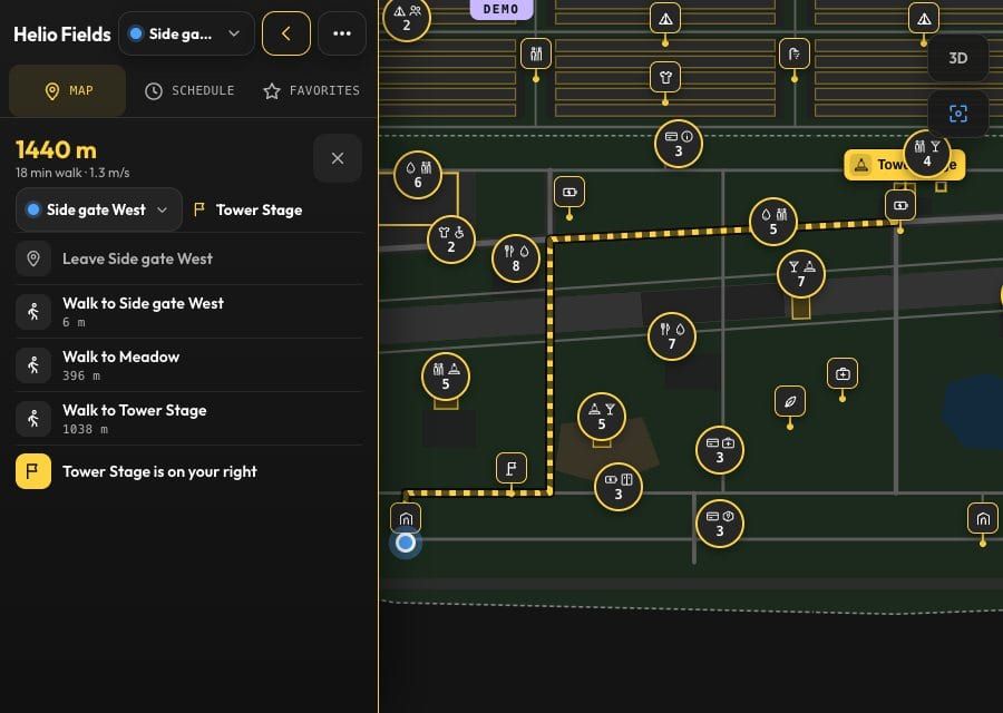
Walking route from the camping to a stage, with minutes and metres. -
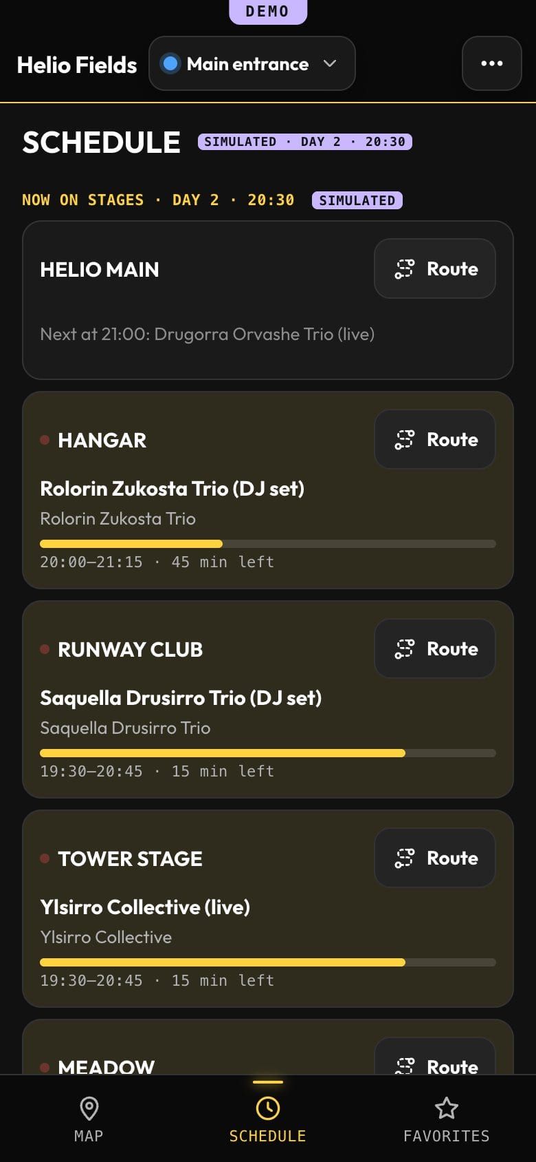
Programme of the festival by day, with sets on several stages. -
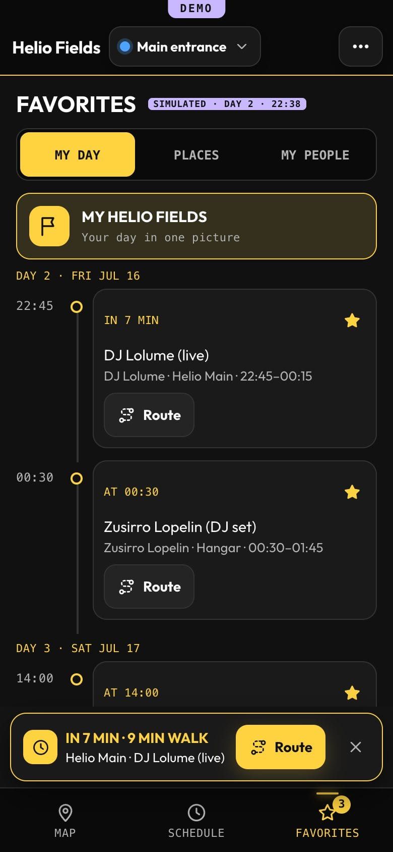
“My day” timeline with starred sets and a clash. -
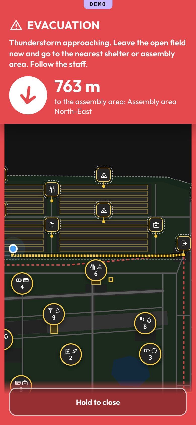
Evacuation mode: route to the nearest exit and the assembly area.
03 — Open-air music festival
What to try
- Open the programme by stage and by day
- Star a few sets and look at “My day”
- Build a route from the camping
- Switch to 3D around the arena
- Start an evacuation in organizer mode
Features in this demo
- Clusters on a large site
- Programme in venue time, past midnight
- “My day” with clashes and the share picture
- Friends with simulated positions
- Evacuation routes to the assembly area
- Offline after the first visit
Finish
Planning a festival?
Send the site plan, the stages and the dates — you will get an answer with what your festival map would take.